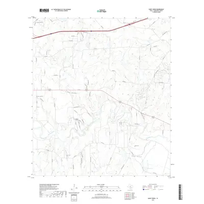
2019 Map of Darst Creek
USGS Topo · Published 2019About this map
The Guadalupe River meanders through this portion of Guadalupe County, carving a path through a landscape defined by an intricate network of creeks and local landmarks. To the south, Sandy Hollow sits near the banks of the river, while Holmes Lake and Bishop Lake punctuate the lower terrain. This survey reflects the modern rural character of the region, where family and local history are preserved in small burial grounds such as Eden Cem, Brenner Cem, Jahns Cem, and Matthies Cem.
Find a feature on this map
81 named features on this map. Tap any name to fly to it.
Don’t see what you’re looking for? This feature index may not catch every label — zoom into the map to look around manually.
Map Details
Editions of this 2019 Darst Creek Map
This is the sole edition of this map. No revisions or reprints were ever made.
Other maps of this area

1911 · San Marcos
USGS Topo · 1:125,000

1919 · San Marcos
USGS Topo · 1:125,000

1920 · Smiley
USGS Topo · 1:125,000

1924 · San Marcos 3-c
USGS Topo · 1:48,000

1924 · San Marcos 3-d
USGS Topo · 1:48,000

1925 · San Marcos 4-c
USGS Topo · 1:48,000

1929 · Luling
USGS Topo · 1:62,500

1930 · Seguin
USGS Topo · 1:62,500

1942 · Dewville
USGS Topo · 1:62,500

1953 · Seguin
USGS Topo · 1:250,000