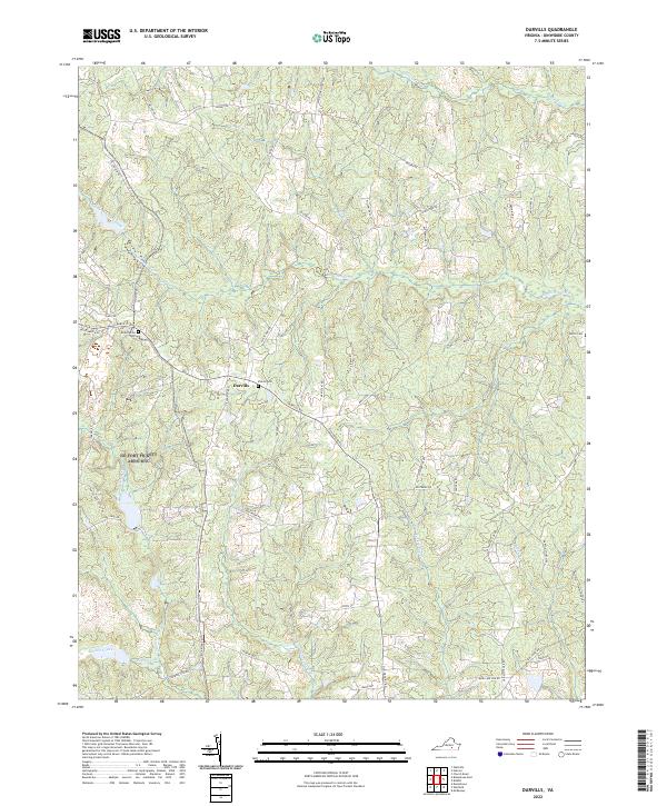
2022 Map of Darvills
USGS Topo · Published 2022About this map
The crossroads community of Darvills serves as the focal point for this rural portion of Dinwiddie County, where a network of tributary streams defines the landscape. The terrain is intricately carved by White Oak Cr, Butterwood Creek, and Birchin Creek, with several smaller branches such as Coaks Br and Turkey Egg Cr weaving between the low ridges. Family and local history are anchored by several small burial grounds, including Butterwood Cem near its namesake creek, Sharon Cem near the town center, and Booth Cem to the east. The road network, including Darvills Rd and White Oak Rd, reflects a long-standing agricultural pattern, connecting remote farmsteads to the central settlement and neighboring watersheds. Small wetlands and ponds, particularly along Beaver Pond Cr and Tommeheton Cr, illustrate the drainage patterns typical of the Virginia Piedmont.
Find a feature on this map
52 named features on this map. Tap any name to fly to it.
Don’t see what you’re looking for? This feature index may not catch every label — zoom into the map to look around manually.
Map Details
Editions of this 2022 Darvills Map
This is the sole edition of this map. No revisions or reprints were ever made.
Other maps of this area

1897 · Amelia
USGS Topo · 1:125,000

1918 · Lawrenceville
USGS Topo · 1:62,500

1919 · Mc Kenney
USGS Topo · 1:48,000

1920 · Lawrenceville
USGS Topo · 1:48,000

1921 · Mc Kenney
USGS Topo · 1:62,500

1921 · Lawrenceville
USGS Topo · 1:62,500

1942 · Lawrenceville
USGS Topo · 1:62,500

1943 · Mc Kenney
USGS Topo · 1:62,500

1943 · De Witt
USGS Topo · 1:24,000

1943 · Church Road
USGS Topo · 1:24,000