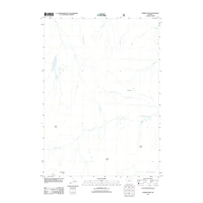
2012 Map of Darwin Peak
USGS Topo · Published 2012About this map
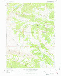
Darwin Peak and the high basins of the Gros Ventre Range define this alpine landscape in Teton County. The 2012 survey illustrates a complex network of high-altitude water sources, where the Gros Ventre River is fed by tributaries including Jagg Cr, Goosewing Cr, and Bear Cabin Cr. Evidence of seasonal use and exploration is marked by the presence of Cowboy Camp near the northern reaches of the Grizzly Basin. The terrain is punctuated by distinctive summits such as Black Peak and Steamboat Peak, which overlook numerous alpine water bodies including The Six Lakes, Chateau Lake, and Farney Lakes. Near the eastern boundary, the landscape drops toward the Upper Falls, while the southern reaches contain the Dry Fork Clear Cr and the waters of Shoal Lake. This map serves as a primary record of the topography and hydrology within these national forest lands during the early 21st century.
Find a feature on this map
19 named features on this map. Tap any name to fly to it.
Don’t see what you’re looking for? This feature index may not catch every label — zoom into the map to look around manually.
Map Details
Editions of this 2012 Darwin Peak Map
This is the sole edition of this map. No revisions or reprints were ever made.
Other maps of this area

1902 · Mt Leidy
USGS Topo · 1:125,000

1907 · Gros Ventre
USGS Topo · 1:125,000

1910 · Gros Ventre
USGS Topo · 1:125,000

1955 · Driggs
USGS Topo · 1:250,000

1958 · Driggs
USGS Topo · 1:250,000

1962 · Driggs
USGS Topo · 1:250,000
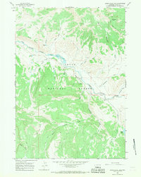
1965 · Upper Slide Lake
USGS Topo · 1:24,000
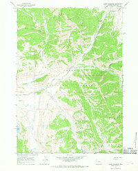
1965 · Burnt Mountain
USGS Topo · 1:24,000
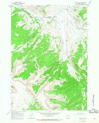
1965 · Grizzly Lake
USGS Topo · 1:24,000
1967 · Tosi Peak
USGS Topo · 1:24,000