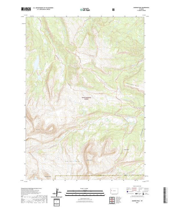
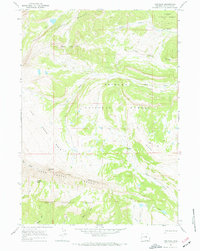
2021 Map of Darwin Peak
USGS Topo · Published 2021About this map
Darwin Peak and the high elevations of the Gros Ventre Range dominate this portion of the Teton National Forest, where the headwaters of the Snake River Headwaters Wild And Scenic River carve through the landscape. This 2021 survey documents an intricate network of backcountry trails and water systems, including the Gros Ventre River and several isolated mountain lakes. The terrain is defined by significant landmarks such as Black Peak, Steamboat Peak, and the long stretch of Sportsman Ridge.
Find a feature on this map
38 named features on this map. Tap any name to fly to it.
Don’t see what you’re looking for? This feature index may not catch every label — zoom into the map to look around manually.
Map Details
Editions of this 2021 Darwin Peak Map
This is the sole edition of this map. No revisions or reprints were ever made.
Other maps of this area

1902 · Mt Leidy
USGS Topo · 1:125,000

1907 · Gros Ventre
USGS Topo · 1:125,000

1910 · Gros Ventre
USGS Topo · 1:125,000

1955 · Driggs
USGS Topo · 1:250,000

1958 · Driggs
USGS Topo · 1:250,000

1962 · Driggs
USGS Topo · 1:250,000
1965 · Upper Slide Lake
USGS Topo · 1:24,000
1965 · Burnt Mountain
USGS Topo · 1:24,000
1965 · Grizzly Lake
USGS Topo · 1:24,000
1967 · Tosi Peak
USGS Topo · 1:24,000