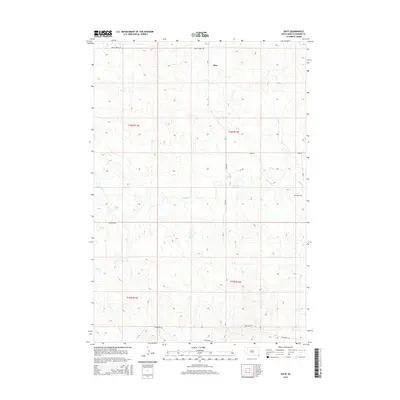
2015 Map of Date
USGS Topo · Published 2015About this map
Date remains a central point of this rural Perkins County landscape, defined by the winding paths of Antelope Cr and Dog Cr. The map details the vast grazing lands and open prairies of northwestern South Dakota, where section lines are marked by isolated roads like Peggy Creek Rd and Antelope Rd. This area reflects the late-period pastoral character of the High Plains, where the small community is anchored by the Date Cem and the intersection of local routes such as Date Rd. The drainage patterns of Brushy Cr and its tributaries reveal the subtle topography that has supported ranching for generations. Settlement is sparse, with the primary human footprint appearing in the form of gravel section roads and the legal boundaries of townships like t16n r12e and t15n r11e.
Find a feature on this map
15 named features on this map. Tap any name to fly to it.
Don’t see what you’re looking for? This feature index may not catch every label — zoom into the map to look around manually.
Map Details
Editions of this 2015 Date Map
This is the sole edition of this map. No revisions or reprints were ever made.
Other maps of this area

1951 · Imogene
USGS Topo · 1:24,000

1951 · Bixby
USGS Topo · 1:24,000

1954 · Lemmon
USGS Topo · 1:250,000

1957 · Lemmon
USGS Topo · 1:250,000

1980 · Zeona
USGS Topo · 1:25,000

1983 · Rabbit Butte
USGS Topo · 1:24,000

1983 · Sorum NE
USGS Topo · 1:24,000

1983 · Date NE
USGS Topo · 1:24,000

1983 · Date
USGS Topo · 1:24,000

1983 · Sorum SE
USGS Topo · 1:24,000