1983 Map of Rabbit Butte
USGS Topo · Published 1984About this map
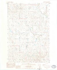
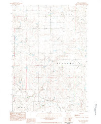
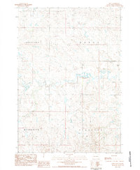
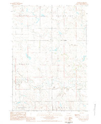
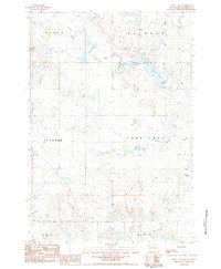
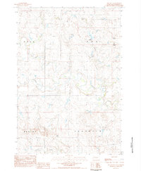
Rabbit Butte stands as a prominent landmark in this segment of Perkins County, rising above a landscape defined by the winding paths of Rabbit Creek and Antelope Creek. The 1980s terrain shows a scattered, rural settlement pattern across the townships of Duell, Hall, Highland, and Brushy. Central to the community life of this prairie region is St James Ch, located near the intersection of local section lines. This document, based on 1978 aerial photography, provides a clear view of the sparse road network and the natural watercourses that dictated the placement of homesteads and community structures. The inclusion of Bixby Road offers a specific geographic anchor for those researching family land or the early twentieth-century transport routes in northern South Dakota.
Find a feature on this map
9 named features on this map. Tap any name to fly to it.
Don’t see what you’re looking for? This feature index may not catch every label — zoom into the map to look around manually.
Map Details
Editions of this 1983 Rabbit Butte Map
This is the sole edition of this map. No revisions or reprints were ever made.
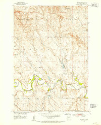
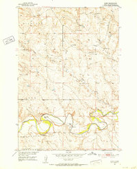
Other maps of this area
1951 · Imogene
USGS Topo · 1:24,000
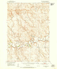
1951 · Deep Creek NW
USGS Topo · 1:24,000
1951 · Bixby
USGS Topo · 1:24,000

1954 · Lemmon
USGS Topo · 1:250,000

1957 · Lemmon
USGS Topo · 1:250,000
1983 · Date NE
USGS Topo · 1:24,000
1983 · Date
USGS Topo · 1:24,000
1983 · Daviston
USGS Topo · 1:24,000
1983 · Owen Lake
USGS Topo · 1:24,000
1983 · Two Buttes
USGS Topo · 1:24,000