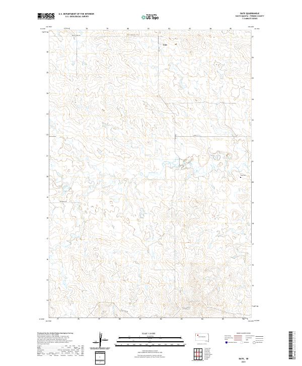
2021 Map of Date
USGS Topo · Published 2021About this map
Date remains the primary focal point of this Perkins County landscape, situated where the high plains are carved by the winding drainage of Antelope Cr. The map reveals a sparsely populated ranching region defined by its sections and a thin network of local roads such as Date Rd and Peggy Creek Rd. Genealogists will find the Date Cem located to the east of the main settlement area, providing a tangible link to the families who established themselves in these townships. The terrain is characterized by the subtle draws of Dog Cr and Brushy Cr, showing the natural water distribution that historically dictated land use and settlement patterns in this part of South Dakota.
Find a feature on this map
14 named features on this map. Tap any name to fly to it.
Don’t see what you’re looking for? This feature index may not catch every label — zoom into the map to look around manually.
Map Details
Editions of this 2021 Date Map
This is the sole edition of this map. No revisions or reprints were ever made.
Other maps of this area

1951 · Imogene
USGS Topo · 1:24,000

1951 · Bixby
USGS Topo · 1:24,000

1954 · Lemmon
USGS Topo · 1:250,000

1957 · Lemmon
USGS Topo · 1:250,000

1980 · Zeona
USGS Topo · 1:25,000

1983 · Rabbit Butte
USGS Topo · 1:24,000

1983 · Sorum NE
USGS Topo · 1:24,000

1983 · Date NE
USGS Topo · 1:24,000

1983 · Date
USGS Topo · 1:24,000

1983 · Sorum SE
USGS Topo · 1:24,000