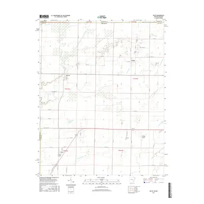
2017 Map of Datto
USGS Topo · Published 2017About this map
Success and Datto anchor a landscape defined by complex water management and rural Arkansas heritage. The terrain is marked by an extensive network of drainage features such as Cypress Ditch, Burke Ditch, and Murray Cr Ditch, reflecting the historical effort to reclaim the lowlands of the Little Black River basin for agriculture. These waterways, alongside landmarks like Woods Lake and Field Lake, illustrate the hydrologic character of the border region where Clay and Randolph counties meet.
Find a feature on this map
66 named features on this map. Tap any name to fly to it.
Don’t see what you’re looking for? This feature index may not catch every label — zoom into the map to look around manually.
Map Details
Editions of this 2017 Datto Map
This is the sole edition of this map. No revisions or reprints were ever made.
Other maps of this area

1935 · Acorn
USGS Topo · 1:62,500

1935 · Knobel
USGS Topo · 1:62,500

1935 · Reyno
USGS Topo · 1:62,500

1939 · Doniphan
USGS Topo · 1:62,500

1940 · Naylor
USGS Topo · 1:62,500

1941 · Knobel
USGS Topo · 1:62,500

1944 · Naylor
USGS Topo · 1:62,500

1945 · Doniphan
USGS Topo · 1:62,500

1957 · Poplar Bluff
USGS Topo · 1:250,000

1959 · Poplar Bluff
USGS Topo · 1:250,000