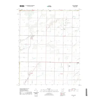
2020 Map of Datto
USGS Topo · Published 2020About this map
The Little Black River meanders across this landscape on the border of Arkansas and Missouri, defining the geography of Clay County. The small community of Success sits along the river's eastern banks, where the local street grid includes McCracken St and Stephens St. The surrounding terrain is a complex network of agricultural drainage, featuring the Cypress Ditch, Indian Cr Ditch, and Townsend Lateral. This engineered water system underscores the region's deep ties to cultivated land and water management in the Mississippi Alluvial Plain.
Find a feature on this map
72 named features on this map. Tap any name to fly to it.
Don’t see what you’re looking for? This feature index may not catch every label — zoom into the map to look around manually.
Map Details
Editions of this 2020 Datto Map
This is the sole edition of this map. No revisions or reprints were ever made.
Other maps of this area

1935 · Acorn
USGS Topo · 1:62,500

1935 · Knobel
USGS Topo · 1:62,500

1935 · Reyno
USGS Topo · 1:62,500

1939 · Doniphan
USGS Topo · 1:62,500

1940 · Naylor
USGS Topo · 1:62,500

1941 · Knobel
USGS Topo · 1:62,500

1944 · Naylor
USGS Topo · 1:62,500

1945 · Doniphan
USGS Topo · 1:62,500

1957 · Poplar Bluff
USGS Topo · 1:250,000

1959 · Poplar Bluff
USGS Topo · 1:250,000