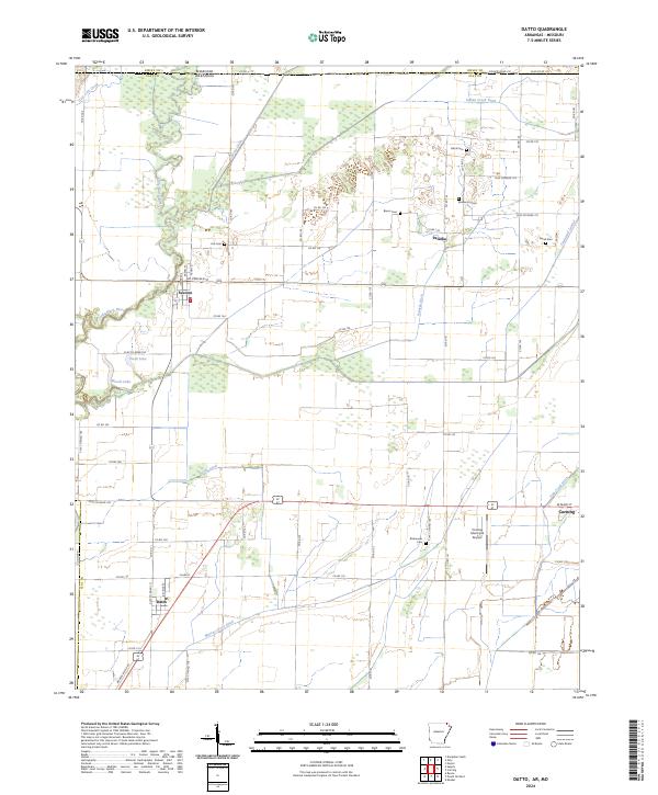
2024 Map of Datto
USGS Topo · Published 2024About this map
The Little Black River defines the western edge of this landscape along the Arkansas-Missouri border, where the bottomlands give way to a meticulously engineered drainage network. This 2024 map documents a rural corridor of Clay County shaped by the Cypress Ditch, Indian Creek Ditch, and Palatka Ditch, which support the agricultural life of small communities like Success and Palatka. These drainage projects are central to the region's development, turning once-impenetrable wetlands into productive fields.
Find a feature on this map
70 named features on this map. Tap any name to fly to it.
Don’t see what you’re looking for? This feature index may not catch every label — zoom into the map to look around manually.
Map Details
Editions of this 2024 Datto Map
This is the sole edition of this map. No revisions or reprints were ever made.
Other maps of this area

1935 · Acorn
USGS Topo · 1:62,500

1935 · Knobel
USGS Topo · 1:62,500

1935 · Reyno
USGS Topo · 1:62,500

1939 · Doniphan
USGS Topo · 1:62,500

1940 · Naylor
USGS Topo · 1:62,500

1941 · Knobel
USGS Topo · 1:62,500

1944 · Naylor
USGS Topo · 1:62,500

1945 · Doniphan
USGS Topo · 1:62,500

1957 · Poplar Bluff
USGS Topo · 1:250,000

1959 · Poplar Bluff
USGS Topo · 1:250,000