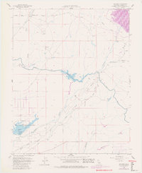
1962 Map of Daulton
USGS Topo · Published 1981About this map
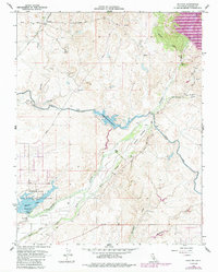
The Fresno River and its complex network of sloughs and canals dominate this Madera County landscape, reflecting the intensive water management required for Central Valley agriculture. This 1962 survey, updated with 1978 aerial data, highlights the development of Madera Lake and the Hensley Lake Recreation Area, significant water storage and public spaces located north of Madera. The presence of the Madera Equalization Reservoir and the Madera Canal underscores the region's reliance on irrigation infrastructure.
Find a feature on this map
26 named features on this map. Tap any name to fly to it.
Don’t see what you’re looking for? This feature index may not catch every label — zoom into the map to look around manually.
Map Details
Editions of this 1962 Daulton Map
5 editions found
Other maps of this area

1912 · Mariposa
USGS Topo · 1:125,000

1919 · Raynor Creek
USGS Topo · 1:31,680

1919 · Little Table Mountain
USGS Topo · 1:31,680

1920 · Kismet
USGS Topo · 1:31,680

1921 · Daulton
USGS Topo · 1:31,680

1922 · Lanes Bridge
USGS Topo · 1:31,680

1922 · Gregg
USGS Topo · 1:31,680

1922 · Madera
USGS Topo · 1:31,680

1942 · Raymond
USGS Topo · 1:62,500

1942 · Daulton
USGS Topo · 1:24,000