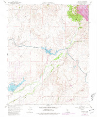
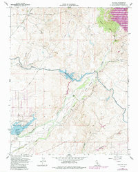
1962 Map of Daulton
USGS Topo · Published 1981About this map
The Fresno River and its complex network of water management features dominate this Central Valley landscape during the early 1960s. The Madera Canal cuts across the terrain, feeding into the Madera Equalization Reservoir and supporting the intensive agricultural needs of the region. Near the settlement of Daulton, evidence of the area's industrial past is visible through an Old Railroad Grade and the Daulton Mine, alongside various quarries.
Find a feature on this map
30 named features on this map. Tap any name to fly to it.
Don’t see what you’re looking for? This feature index may not catch every label — zoom into the map to look around manually.
Map Details
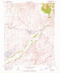
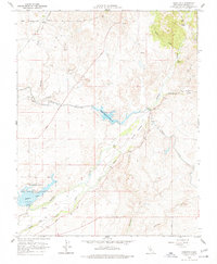
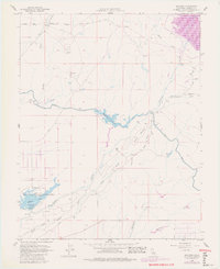
Editions of this 1962 Daulton Map
5 editions found
Other maps of this area

1912 · Mariposa
USGS Topo · 1:125,000

1919 · Raynor Creek
USGS Topo · 1:31,680

1919 · Little Table Mountain
USGS Topo · 1:31,680

1920 · Kismet
USGS Topo · 1:31,680

1921 · Daulton
USGS Topo · 1:31,680

1922 · Lanes Bridge
USGS Topo · 1:31,680

1922 · Gregg
USGS Topo · 1:31,680

1922 · Madera
USGS Topo · 1:31,680

1942 · Raymond
USGS Topo · 1:62,500

1942 · Daulton
USGS Topo · 1:24,000