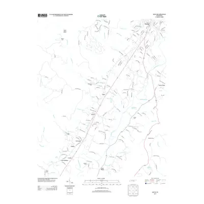
2013 Map of Daus
USGS Topo · Published 2013About this map
The Sequatchie River bisects this Tennessee landscape, creating a fertile valley corridor where many of the area’s historic settlements are clustered. Dunlap occupies the northern reach, while a string of smaller communities including Daus, Bryant, and Cartwright follow the southwestern path of the river and highway. The map captures the transition between the level valley floor and the dramatic relief of Woodcock Gulf and Barker Cove. Local heritage is anchored by landmarks like Bryant Cemetery Rd and several natural springs, including Boynton Spring and Cedar Spring. The presence of Matthews Airport and scattered industrial sites reflects the ongoing utility of this rural corridor, which maintains its traditional settlement pattern along the waterways and road network. Numerous small tributaries, such as Stone Cr and Anderson Mill Cr, drain the flanking heights into the central river basin.
Find a feature on this map
170 named features on this map. Tap any name to fly to it.
Don’t see what you’re looking for? This feature index may not catch every label — zoom into the map to look around manually.
Map Details
Editions of this 2013 Daus Map
This is the sole edition of this map. No revisions or reprints were ever made.
Other maps of this area

1888 · Chattanooga
USGS Topo · 1:125,000

1893 · Chattanooga
USGS Topo · 1:125,000

1895 · Sewanee
USGS Topo · 1:125,000

1935 · Mount Airy
USGS Topo · 1:24,000

1936 · Palmer
USGS Topo · 1:24,000

1936 · Daus
USGS Topo · 1:24,000

1936 · Henson Gap
USGS Topo · 1:24,000

1936 · Whitwell
USGS Topo · 1:24,000

1936 · Ketner Gap
USGS Topo · 1:24,000

1936 · Fairmount
USGS Topo · 1:24,000