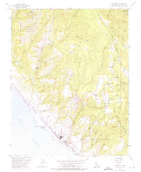
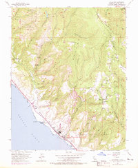
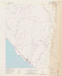
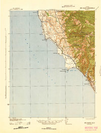
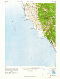
1955 Map of Davenport
USGS Topo · Published 1975About this map
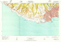
Ben Lomond Mountain dominates the eastern topography of this coastal terrain, where the Santa Cruz mountains meet the Pacific shoreline. The coastal settlement of Davenport is defined by its industrial roots, anchored by a prominent Cement Plant and the Southern Pacific railroad line tracking the coast. Further north, the landscape transitions into the preserved groves of Big Basin Redwoods State Park, a significant early land conservation effort. Inland, the community of Bonnie Doon sits atop the ridge, served by the Bonnie Doon School and nearby infrastructure like the Bonnie Doon Substation.
Find a feature on this map
46 named features on this map. Tap any name to fly to it.
Don’t see what you’re looking for? This feature index may not catch every label — zoom into the map to look around manually.
Map Details
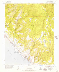
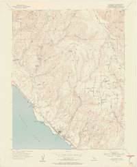
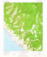
Editions of this 1955 Davenport Map
6 editions found
Other maps of this area

1902 · Santa Cruz
USGS Topo · 1:125,000

1940 · Ano Nuevo
USGS Topo · 1:62,500

1941 · Ano Nuevo Pt.
USGS Topo · 1:62,500
1942 · Ano Nuevo
USGS Topo · 1:62,500

1947 · San Francisco
USGS Topo · 1:250,000

1948 · Santa Cruz
USGS Topo · 1:250,000

1948 · San Francisco
USGS Topo · 1:250,000
1948 · Ano Nuevo
USGS Topo · 1:62,500
1954 · Santa Cruz
USGS Topo · 1:24,000

1955 · San Francisco
USGS Topo · 1:250,000