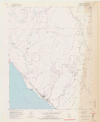
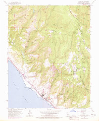
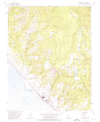
1955 Map of Davenport
USGS Topo · Published 1970About this map
Ben Lomond Mountain dominates the eastern skyline of this coastal survey, where the Santa Cruz mountains meet the Pacific Ocean. The landscape is defined by the industrial and agricultural activity of the mid-20th century, notably the large Cement Plant at Davenport and numerous quarries along the drainage of San Vicente Creek. Along the coastline, the Southern Pacific railroad tracks follow the bluffs, passing through Davenport Landing and near the historic Agua Puerca Y Las Trancas land grant area.
Find a feature on this map
41 named features on this map. Tap any name to fly to it.
Don’t see what you’re looking for? This feature index may not catch every label — zoom into the map to look around manually.
Map Details
Editions of this 1955 Davenport Map
6 editions found
Other maps of this area

1902 · Santa Cruz
USGS Topo · 1:125,000

1940 · Ano Nuevo
USGS Topo · 1:62,500

1941 · Ano Nuevo Pt.
USGS Topo · 1:62,500

1942 · Ano Nuevo
USGS Topo · 1:62,500

1947 · San Francisco
USGS Topo · 1:250,000

1948 · Santa Cruz
USGS Topo · 1:250,000

1948 · San Francisco
USGS Topo · 1:250,000

1948 · Ano Nuevo
USGS Topo · 1:62,500
1954 · Santa Cruz
USGS Topo · 1:24,000

1955 · San Francisco
USGS Topo · 1:250,000