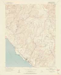
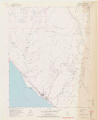
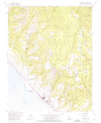
1955 Map of Davenport
USGS Topo · Published 1957About this map
San Vicente (Escarrila) and the massive ridge of Ben Lomond Mountain dominate this coastal survey of the Santa Cruz Mountains. The coastal terrace is anchored by the industrial activity at Davenport, featuring the Cement Plant and the Southern Pacific rail line running along the shore. Inland, the landscape transitions from the protected timber of Big Basin Redwoods State Park to the small rural centers of Bonnie Doon and Swanton. This mid-century view shows an era of transition for the local economy, where the remains of a flume and the Big Creek Powerhouse (Site) hint at earlier resource extraction and power generation. The road network, including the winding Empire Grade and Ice Cream Grade, connects scattered family landmarks like Bonnie Doon School and various quarries and tunnels tucked into the deep canyons of San Vicente Creek and Scott Creek.
Find a feature on this map
54 named features on this map. Tap any name to fly to it.
Don’t see what you’re looking for? This feature index may not catch every label — zoom into the map to look around manually.
Map Details
Editions of this 1955 Davenport Map
6 editions found
Other maps of this area

1902 · Santa Cruz
USGS Topo · 1:125,000

1940 · Ano Nuevo
USGS Topo · 1:62,500

1941 · Ano Nuevo Pt.
USGS Topo · 1:62,500

1942 · Ano Nuevo
USGS Topo · 1:62,500

1947 · San Francisco
USGS Topo · 1:250,000

1948 · Santa Cruz
USGS Topo · 1:250,000

1948 · San Francisco
USGS Topo · 1:250,000

1948 · Ano Nuevo
USGS Topo · 1:62,500
1954 · Santa Cruz
USGS Topo · 1:24,000

1955 · San Francisco
USGS Topo · 1:250,000