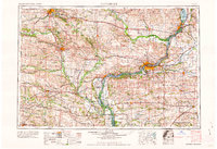
1962 Map of Davenport
USGS Topo · Published 1962About this map
The Mississippi River serves as the dominant geographic spine of this mid-century landscape, anchoring the industrial and transport hubs of Davenport, Rock Island, and Moline. This regional survey reveals a complex network of river navigation and rail infrastructure, including the Chicago Rock Island and Pacific and Chicago Burlington and Quincy lines that linked these river cities to the interior.
Find a feature on this map
231 named features on this map. Tap any name to fly to it.
Don’t see what you’re looking for? This feature index may not catch every label — zoom into the map to look around manually.
Map Details
Editions of this 1962 Davenport Map
This is the sole edition of this map. No revisions or reprints were ever made.
Other maps of this area
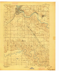
1887 · Cedar Rapids
USGS Topo · 1:62,500
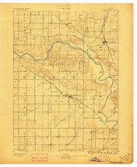
1888 · Shellsburg
USGS Topo · 1:62,500
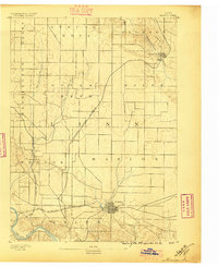
1888 · Marion
USGS Topo · 1:62,500
1888 · Amana
USGS Topo · 1:62,500
1889 · Tipton
USGS Topo · 1:62,500
1889 · Marion
USGS Topo · 1:62,500
1889 · Amana
USGS Topo · 1:62,500
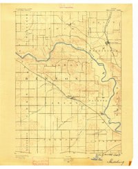
1889 · Shellsburg
USGS Topo · 1:62,500
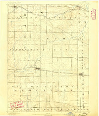
1890 · Durant
USGS Topo · 1:62,500
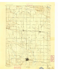
1890 · Tipton
USGS Topo · 1:62,500