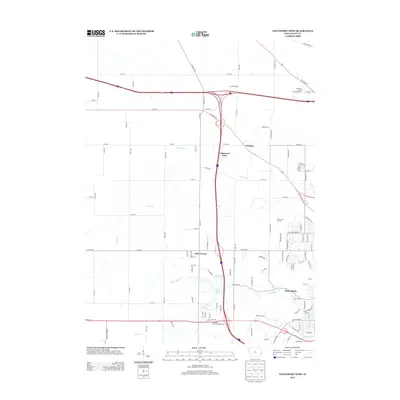
2013 Map of Davenport West
USGS Topo · Published 2013About this map
Probstei and Lakewood Park define the northern suburban expansion of the Davenport area, where residential subdivisions meet the agricultural fields of Scott County. The landscape is carved by several winding waterways, including the prominent Duck Cr and Cardinal Cr, which dictate the local topography and the placement of recreational spaces like Emeis Golf Course. This 2013 survey illustrates the complex intersection of major transportation corridors, with the confluence of Interstate 80 and Interstate 280 serving as a primary hub for commerce and travel.
Find a feature on this map
107 named features on this map. Tap any name to fly to it.
Don’t see what you’re looking for? This feature index may not catch every label — zoom into the map to look around manually.
Map Details
Editions of this 2013 Davenport West Map
This is the sole edition of this map. No revisions or reprints were ever made.
Other maps of this area

1890 · Durant
USGS Topo · 1:62,500

1891 · Davenport
USGS Topo · 1:62,500

1894 · Durant
USGS Topo · 1:62,500

1894 · Davenport
USGS Topo · 1:62,500

1901 · Rock Island
USGS Topo · 1:125,000

1910 · Rock Island
USGS Topo · 1:125,000

1912 · Milan
USGS Topo · 1:62,500

1916 · Edgington
USGS Topo · 1:62,500

1938 · Edgington
USGS Topo · 1:62,500

1944 · Milan
USGS Topo · 1:62,500