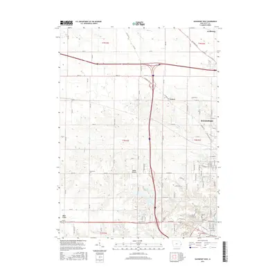
2015 Map of Davenport West
USGS Topo · Published 2015About this map
Davenport expands westward into the rural landscape of Scott County, where residential development meets established farmland. The terrain is defined by the drainage of Duck Cr and Cardinal Cr as they flow toward the urban center. Pockets of history are preserved in small burial grounds such as Kisenmacher Cem and the Friday Family Cem, providing valuable points of reference for genealogists. The map captures the transitional character of the area, featuring newer communities like Little Groves alongside older nodes like Probstei. This 2015 study illustrates the complex road network connecting outlying towns like Blue Grass and Eldridge to the city, highlighting the integration of interstate corridors with historic local routes like Co Rd Y48 and May S Ville Rd.
Find a feature on this map
100 named features on this map. Tap any name to fly to it.
Don’t see what you’re looking for? This feature index may not catch every label — zoom into the map to look around manually.
Map Details
Editions of this 2015 Davenport West Map
This is the sole edition of this map. No revisions or reprints were ever made.
Other maps of this area

1890 · Durant
USGS Topo · 1:62,500

1891 · Davenport
USGS Topo · 1:62,500

1894 · Durant
USGS Topo · 1:62,500

1894 · Davenport
USGS Topo · 1:62,500

1901 · Rock Island
USGS Topo · 1:125,000

1910 · Rock Island
USGS Topo · 1:125,000

1912 · Milan
USGS Topo · 1:62,500

1916 · Edgington
USGS Topo · 1:62,500

1938 · Edgington
USGS Topo · 1:62,500

1944 · Milan
USGS Topo · 1:62,500