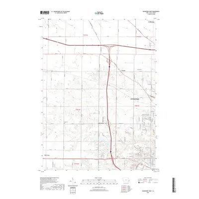
2018 Map of Davenport West
USGS Topo · Published 2018About this map
Davenport spreads across the eastern portion of this map, showcasing the transition from urban suburbanization to the agricultural heartland of Scott County. The landscape is defined by the drainage networks of Duck Creek and Black-Hawk Creek, which weave between growing residential districts and established farms. Smaller settlements such as Little Groves, Blue Grass, and Probstei serve as local anchors, while the northern edge is marked by the presence of Eldridge. For those investigating local family history, several burial sites are documented across the rural landscape and city fringes, including Kisenmacher Cemetery, Friday Family Cemetery, and Fairmont Cemetery. Industrial and residential development is reflected in the modern road network, yet the persistence of named family cemeteries and creek systems provides a clear link to the area's older rural organization.
Find a feature on this map
106 named features on this map. Tap any name to fly to it.
Don’t see what you’re looking for? This feature index may not catch every label — zoom into the map to look around manually.
Map Details
Editions of this 2018 Davenport West Map
This is the sole edition of this map. No revisions or reprints were ever made.
Other maps of this area

1890 · Durant
USGS Topo · 1:62,500

1891 · Davenport
USGS Topo · 1:62,500

1894 · Durant
USGS Topo · 1:62,500

1894 · Davenport
USGS Topo · 1:62,500

1901 · Rock Island
USGS Topo · 1:125,000

1910 · Rock Island
USGS Topo · 1:125,000

1912 · Milan
USGS Topo · 1:62,500

1916 · Edgington
USGS Topo · 1:62,500

1938 · Edgington
USGS Topo · 1:62,500

1944 · Milan
USGS Topo · 1:62,500