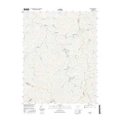
2016 Map of David
USGS Topo · Published 2016About this map
Licking River and its numerous branches dominate this eastern Kentucky landscape, where several small communities are centered around the valley floors and narrow hollows. Settled pockets like Fredville, Arthurmabel, and Gunlock appear alongside a network of family-named cemeteries, including the Willburn Shepherd Cem and Raleigh Shepherd Senior Cem, which reflect the long-standing genealogical roots of the region. The map highlights the intersection of Magoffin, Floyd, Breathitt, and Knott counties, illustrating how political boundaries traverse the difficult terrain.
Find a feature on this map
108 named features on this map. Tap any name to fly to it.
Don’t see what you’re looking for? This feature index may not catch every label — zoom into the map to look around manually.
Map Details
Editions of this 2016 David Map
This is the sole edition of this map. No revisions or reprints were ever made.
Other maps of this area

1886 · Prestonsburg
USGS Topo · 1:125,000

1889 · Salyersville
USGS Topo · 1:125,000

1890 · Whitesburg
USGS Topo · 1:125,000

1891 · Hazard
USGS Topo · 1:125,000

1891 · Salyersville
USGS Topo · 1:125,000

1892 · Whitesburg
USGS Topo · 1:125,000

1892 · Prestonsburg
USGS Topo · 1:125,000

1899 · Salyersville
USGS Topo · 1:125,000

1912 · Hindman
USGS Topo · 1:48,000

1914 · Troublesome
USGS Topo · 1:62,500