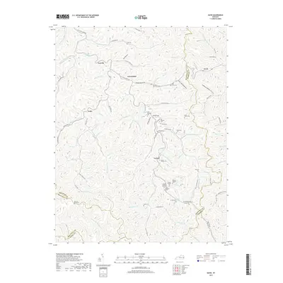
2019 Map of David
USGS Topo · Published 2019About this map
Arthurmabel and Fredville sit within a landscape of winding hollows and narrow creek valleys along the Licking River. The terrain is marked by a dense concentration of family cemeteries, such as the Allen Cem, Dona Howard Cem, and Vanderpool Cem, which reflect the generations of families that have settled in these remote Cumberland Plateau gaps. The road network follows the water, with Howard Branch Rd and SE Licking River Rd tracing the paths of the river and its many tributaries.
Find a feature on this map
112 named features on this map. Tap any name to fly to it.
Don’t see what you’re looking for? This feature index may not catch every label — zoom into the map to look around manually.
Map Details
Editions of this 2019 David Map
This is the sole edition of this map. No revisions or reprints were ever made.
Other maps of this area

1886 · Prestonsburg
USGS Topo · 1:125,000

1889 · Salyersville
USGS Topo · 1:125,000

1890 · Whitesburg
USGS Topo · 1:125,000

1891 · Hazard
USGS Topo · 1:125,000

1891 · Salyersville
USGS Topo · 1:125,000

1892 · Whitesburg
USGS Topo · 1:125,000

1892 · Prestonsburg
USGS Topo · 1:125,000

1899 · Salyersville
USGS Topo · 1:125,000

1912 · Hindman
USGS Topo · 1:48,000

1914 · Troublesome
USGS Topo · 1:62,500