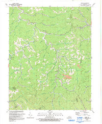
1992 Map of David
USGS Topo · Published 1992About this map
The Licking River and Licking Creek carve through this landscape at the intersection of Magoffin, Floyd, Breathitt, and Knott counties. Small, dispersed settlements like Fredville, Arthurmabel, and Waldo are connected by winding roads that follow the tight valleys of Whitley Branch and Bear Branch. The terrain is characterized by a dense network of hollows and forks, including the evocatively named Rough and Tough Creek and Stilhouse Hollow Fork.
Find a feature on this map
75 named features on this map. Tap any name to fly to it.
Don’t see what you’re looking for? This feature index may not catch every label — zoom into the map to look around manually.
Map Details
Editions of this 1992 David Map
This is the sole edition of this map. No revisions or reprints were ever made.
Other maps of this area

1886 · Prestonsburg
USGS Topo · 1:125,000

1889 · Salyersville
USGS Topo · 1:125,000

1890 · Whitesburg
USGS Topo · 1:125,000

1891 · Hazard
USGS Topo · 1:125,000

1891 · Salyersville
USGS Topo · 1:125,000

1892 · Whitesburg
USGS Topo · 1:125,000

1892 · Prestonsburg
USGS Topo · 1:125,000

1899 · Salyersville
USGS Topo · 1:125,000

1912 · Hindman
USGS Topo · 1:48,000

1914 · Troublesome
USGS Topo · 1:62,500