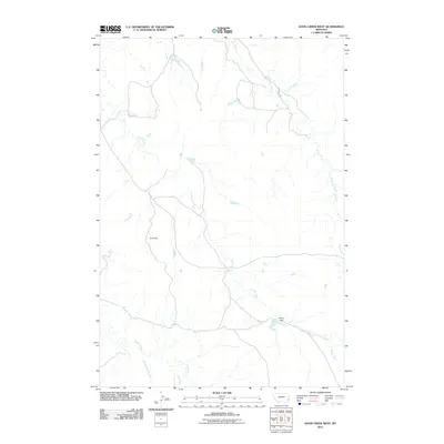
2011 Map of Davis Creek West
USGS Topo · Published 2011About this map
Stump Creek and its many tributaries carve through this corner of Powder River County, Montana, defining a landscape shaped by intermittent water and sparse high ground. The drainage system is complex, with Flag Creek, Timber Creek, and Honeycomb Creek feeding into the larger network that eventually moves toward the north. This is a region of ranching and remote infrastructure, evidenced by the presence of Harkin Dam, a vital water management point for local land use.
Find a feature on this map
9 named features on this map. Tap any name to fly to it.
Don’t see what you’re looking for? This feature index may not catch every label — zoom into the map to look around manually.
Map Details
Editions of this 2011 Davis Creek West Map
This is the sole edition of this map. No revisions or reprints were ever made.
Other maps of this area

1954 · Ekalaka
USGS Topo · 1:250,000

1956 · Ekalaka
USGS Topo · 1:250,000

1958 · Ekalaka
USGS Topo · 1:250,000

1965 · Ekalaka
USGS Topo · 1:250,000

1979 · W L Butte
USGS Topo · 1:24,000

1979 · Blacktail Creek SE
USGS Topo · 1:24,000

1979 · Blacktail Creek SW
USGS Topo · 1:24,000

1979 · Powderville
USGS Topo · 1:24,000

1979 · Rattlesnake Ridge
USGS Topo · 1:24,000

1979 · McKenzie Creek
USGS Topo · 1:24,000