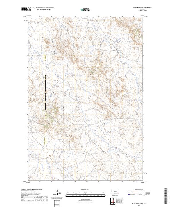
2024 Map of Davis Creek West
USGS Topo · Published 2024About this map
The Powder River Co Carter Co boundary runs vertically through this landscape, marking a remote stretch of southeastern Montana defined by its intricate drainage networks. Elevations rise to Pine Hill, a prominent landmark overlooking the many seasonal watercourses that shape this terrain. The map details the headwaters and winding paths of Stump Creek, Honeycomb Creek, and Timber Creek, illustrating the natural erosional patterns characteristic of this high plains region. Unlike many more developed areas, the map is defined by its lack of modern infrastructure, showing the surveyor's focus on the natural topography and the legal boundaries of t1s r54e and surrounding townships. This 2024 data provides a clear record of the watershed as it exists today, including the paths of South Dry Creek and Flag Creek.
Find a feature on this map
13 named features on this map. Tap any name to fly to it.
Don’t see what you’re looking for? This feature index may not catch every label — zoom into the map to look around manually.
Map Details
Editions of this 2024 Davis Creek West Map
This is the sole edition of this map. No revisions or reprints were ever made.
Other maps of this area

1954 · Ekalaka
USGS Topo · 1:250,000

1956 · Ekalaka
USGS Topo · 1:250,000

1958 · Ekalaka
USGS Topo · 1:250,000

1965 · Ekalaka
USGS Topo · 1:250,000

1979 · W L Butte
USGS Topo · 1:24,000

1979 · Blacktail Creek SE
USGS Topo · 1:24,000

1979 · Blacktail Creek SW
USGS Topo · 1:24,000

1979 · Powderville
USGS Topo · 1:24,000

1979 · Rattlesnake Ridge
USGS Topo · 1:24,000

1979 · McKenzie Creek
USGS Topo · 1:24,000