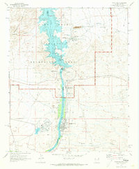
1970 Map of Davis Dam
USGS Topo · Published 1973About this map
Davis Dam anchors this transition of the Colorado River from the Lake Mead National Recreation Area into the developed valleys of the Arizona and Nevada borderlands. The 1970 landscape reveals a mix of industrial infrastructure and early recreation, with the Mohave Generating Station and its large Industrial Waste Pond standing in contrast to the nearby Sportsman Paradise County Campground and Lake Mohave Resort. Along the riverbanks, the growth of Bullhead City and Laughlin is evident, served by the Bullhead City Airport and a network of pipelines and substations.
Find a feature on this map
55 named features on this map. Tap any name to fly to it.
Don’t see what you’re looking for? This feature index may not catch every label — zoom into the map to look around manually.
Map Details
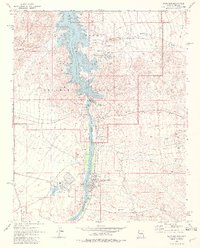
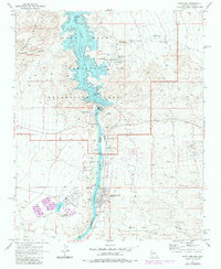
Editions of this 1970 Davis Dam Map
3 editions found
Other maps of this area

1886 · Camp Mohave
USGS Topo · 1:250,000

1892 · Camp Mohave
USGS Topo · 1:250,000

1926 · Mohave City
USGS Topo · 1:96,000

1942 · Camp Mohave
USGS Topo · 1:250,000

1947 · Kingman
USGS Topo · 1:250,000

1948 · Kingman
USGS Topo · 1:250,000

1950 · Davis Dam
USGS Topo · 1:62,500

1952 · Davis Dam
USGS Topo · 1:62,500

1954 · Kingman
USGS Topo · 1:250,000

1955 · Kingman
USGS Topo · 1:250,000