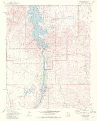
1970 Map of Davis Dam
USGS Topo · Published 1982About this map
Davis Dam stands as the central engineering feat of this desert landscape, spanning the Colorado River to separate the waters of the Lake Mead National Recreation Area from the downstream valley. The 1970 landscape reveals a transition from traditional resource extraction to modern energy and recreation, as seen in the proximity of the Katherine Mine and Katherine Extension Mine to the developing Lake Mohave Resort. Along the river banks, the nascent growth of Laughlin on the Nevada side and Bullhead City in Arizona is documented just as the region began to transform into a desert hub. On the Nevada side, the massive industrial footprint of the Mohave Generating Station with its extensive Slurry Ponds contrasts with the surrounding network of Jeep Trails and natural landmarks like Bulls Head Rock and Inscription Rock.
Find a feature on this map
43 named features on this map. Tap any name to fly to it.
Don’t see what you’re looking for? This feature index may not catch every label — zoom into the map to look around manually.
Map Details
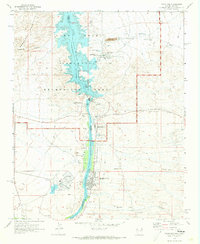
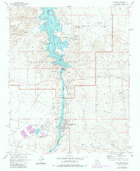
Editions of this 1970 Davis Dam Map
3 editions found
Other maps of this area

1886 · Camp Mohave
USGS Topo · 1:250,000

1892 · Camp Mohave
USGS Topo · 1:250,000

1926 · Mohave City
USGS Topo · 1:96,000

1942 · Camp Mohave
USGS Topo · 1:250,000

1947 · Kingman
USGS Topo · 1:250,000

1948 · Kingman
USGS Topo · 1:250,000

1950 · Davis Dam
USGS Topo · 1:62,500

1952 · Davis Dam
USGS Topo · 1:62,500

1954 · Kingman
USGS Topo · 1:250,000

1955 · Kingman
USGS Topo · 1:250,000