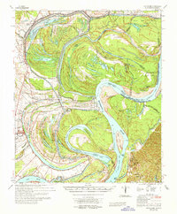
1965 Map of Davis Island
USGS Topo · Published 1965About this map
The Mississippi River winds through a complex landscape of oxbow lakes, chutes, and parish boundaries in this mid-century survey. The massive Davis Island and its namesake Davis Island Cutoff dominate the center, illustrating the river's dynamic nature and the engineering efforts to manage its flow. To the south, the Grand Gulf Mil Mon and Fort Cobun mark significant historical locations near the mouth of the Big Black River.
Find a feature on this map
103 named features on this map. Tap any name to fly to it.
Don’t see what you’re looking for? This feature index may not catch every label — zoom into the map to look around manually.
Map Details
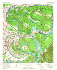
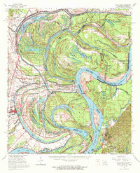
Editions of this 1965 Davis Island Map
3 editions found
Other maps of this area

1909 · Delta Bridge
USGS Topo · 1:24,000

1909 · Lake Bruen
USGS Topo · 1:24,000

1909 · Mound
USGS Topo · 1:24,000

1910 · Mound
USGS Topo · 1:31,680

1918 · Vicksburg
USGS Topo · 1:62,500

1935 · Waverly
USGS Topo · 1:62,500

1935 · Shackleford Lake
USGS Topo · 1:62,500

1939 · Talla Bena
USGS Topo · 1:62,500

1939 · Yokena
USGS Topo · 1:62,500

1939 · Lorman
USGS Topo · 1:62,500