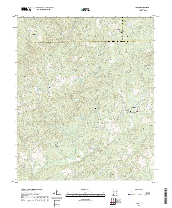
2024 Map of Daviston
USGS Topo · Published 2024About this map
Daviston and the surrounding borderlands of Tallapoosa, Clay, and Randolph Counties are characterized by a network of small creeks and rural communities that have defined this corner of Alabama for generations. The landscape is structured by the winding paths of Little Emuckfaw Creek and Emuckfaw Creek, where numerous family-named landmarks such as Old Vickers Cem and Milam Cem suggest deep ancestral roots. The town of Daviston serves as a local anchor, housing the Daviston Baptist Church and Daviston Independent Methodist Church. Smaller settlements like Simpson, Motley, and Zana are interconnected by historically significant routes including Old Daviston Rd and Bethany Rd. This recent topographical study provides a clear view of the area's contemporary geography while preserving the locations of legacy sites like Union Cem and County Line Cem, which are vital for genealogical research.
Find a feature on this map
76 named features on this map. Tap any name to fly to it.
Don’t see what you’re looking for? This feature index may not catch every label — zoom into the map to look around manually.
Map Details
Editions of this 2024 Daviston Map
This is the sole edition of this map. No revisions or reprints were ever made.
Other maps of this area

1891 · Ashland
USGS Topo · 1:125,000

1906 · Dadeville
USGS Topo · 1:125,000

1953 · Atlanta
USGS Topo · 1:250,000

1955 · Phenix City
USGS Topo · 1:250,000

1957 · Phenix City
USGS Topo · 1:250,000

1957 · Atlanta
USGS Topo · 1:250,000

1958 · Phenix City
USGS Topo · 1:250,000

1958 · Atlanta
USGS Topo · 1:250,000

1969 · New Site
USGS Topo · 1:24,000

1969 · Wadley North
USGS Topo · 1:24,000