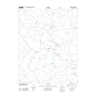
2011 Map of Davisville
USGS Topo · Published 2011About this map
Davisville and the nearby Center Post lie within a terrain of deep hollows and high knobs in Crawford County. The landscape is defined by the winding course of Huzzah Creek, which is fed by numerous tributaries including Rock Branch and Shoal Creek. Historically significant river crossings such as Fleming Ford and Crabtree Ford indicate the traditional movement patterns through this part of the Ozarks.
Find a feature on this map
68 named features on this map. Tap any name to fly to it.
Don’t see what you’re looking for? This feature index may not catch every label — zoom into the map to look around manually.
Map Details
Editions of this 2011 Davisville Map
This is the sole edition of this map. No revisions or reprints were ever made.
Other maps of this area

1932 · Steelville
USGS Topo · 1:48,000

1933 · Steelville
USGS Topo · 1:62,500

1937 · Steelville
USGS Topo · 1:62,500

1941 · Stone Hill
USGS Topo · 1:62,500

1943 · Berryman
USGS Topo · 1:62,500

1943 · Boss
USGS Topo · 1:62,500

1945 · Stone Hill
USGS Topo · 1:62,500

1945 · Berryman
USGS Topo · 1:62,500

1946 · Boss
USGS Topo · 1:62,500

1949 · Rolla
USGS Topo · 1:250,000