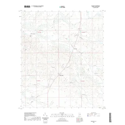
2020 Map of Davisville
USGS Topo · Published 2020About this map
Mount Andrew and the surrounding Macon County countryside appear in this contemporary survey, characterized by a high density of small rural burial grounds and winding creeks. The landscape is defined by the headwaters of Calebee Cr and Persimmon Cr, which drain through timbered terrain north of Cotton Valley. A network of county roads like St Marks Rd and Pine Grove Rd connect small clusters of homes and family landmarks.
Find a feature on this map
49 named features on this map. Tap any name to fly to it.
Don’t see what you’re looking for? This feature index may not catch every label — zoom into the map to look around manually.
Map Details
Editions of this 2020 Davisville Map
This is the sole edition of this map. No revisions or reprints were ever made.
Other maps of this area

1955 · Phenix City
USGS Topo · 1:250,000

1957 · Phenix City
USGS Topo · 1:250,000

1958 · Phenix City
USGS Topo · 1:250,000

1971 · Little Texas
USGS Topo · 1:24,000

1971 · Tuskegee
USGS Topo · 1:24,000

1971 · La Place
USGS Topo · 1:24,000

1971 · Hardaway
USGS Topo · 1:24,000

1971 · Thompson
USGS Topo · 1:24,000
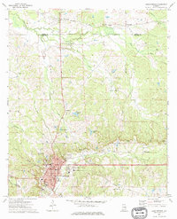
1973 · Union Springs
USGS Topo · 1:24,000
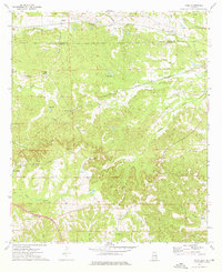
1973 · Roba
USGS Topo · 1:24,000