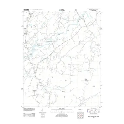
2011 Map of Davy Crockett Lake
USGS Topo · Published 2011About this map
The Nolichucky River carves a winding path through this corner of Greene County, its flow managed by the Nolichucky Dam and supporting the waters of Davy Crockett Lake. The landscape is a mix of riverbottom shoals, such as Dinsmores Shoals and Allens Shoals, and the sharp topography of the Unaka Mountains foothills. Small settlements and crossroads like Whitesand, Hayesville, and Limestone Springs anchor the local geography, connected by a network of rural roads that follow the contours of the valley floors.
Find a feature on this map
139 named features on this map. Tap any name to fly to it.
Don’t see what you’re looking for? This feature index may not catch every label — zoom into the map to look around manually.
Map Details
Editions of this 2011 Davy Crockett Lake Map
This is the sole edition of this map. No revisions or reprints were ever made.
Other maps of this area

1892 · Greeneville
USGS Topo · 1:125,000

1894 · Asheville
USGS Topo · 1:125,000

1896 · Greeneville
USGS Topo · 1:125,000

1901 · Asheville
USGS Topo · 1:125,000

1904 · Greeneville
USGS Topo · 1:125,000

1935 · Paint Rock
USGS Topo · 1:24,000

1935 · Mosheim
USGS Topo · 1:24,000

1935 · Cedar Creek
USGS Topo · 1:24,000

1935 · Hot Springs
USGS Topo · 1:24,000

1936 · Greystone
USGS Topo · 1:24,000