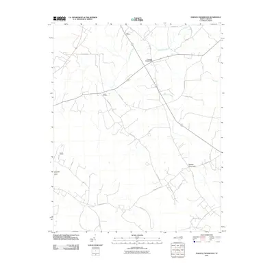
2010 Map of Dawson Crossroads
USGS Topo · Published 2010About this map
Crowells Crossroads and Dawson Crossroads anchor this rural landscape in Halifax County, reflecting a classic North Carolina agricultural layout defined by scattered homesteads and family cemeteries. The terrain is marked by the slow-moving waters of Conoconnara Swamp and Hales Millpond Branch, which dictate the winding paths of local roads such as Sorietown Rd and Thirteen Bridges Rd. For those researching local families, the presence of Hales Cemetery, Westray Cemetery, and Pittman Cemetery provides specific points of interest for genealogical study. The area maintains its rural character with modern adaptations, including the private landing strip at Dunroamin Farms Airport. This 2010 survey illustrates the persistence of traditional land divisions, where large agricultural tracts are accessed by family-named routes like Douglas Hill Farm Rd and W W Cotton Farm Rd.
Find a feature on this map
30 named features on this map. Tap any name to fly to it.
Don’t see what you’re looking for? This feature index may not catch every label — zoom into the map to look around manually.
Map Details
Editions of this 2010 Dawson Crossroads Map
This is the sole edition of this map. No revisions or reprints were ever made.
Other maps of this area

1953 · Norfolk
USGS Topo · 1:250,000

1960 · Dawson Crossroads
USGS Topo · 1:24,000

1960 · Draughn
USGS Topo · 1:24,000

1961 · Whitakers
USGS Topo · 1:24,000

1961 · Enfield
USGS Topo · 1:24,000

1962 · Scotland Neck
USGS Topo · 1:24,000

1962 · Hobgood
USGS Topo · 1:24,000

1974 · Halifax
USGS Topo · 1:24,000

1974 · Boones Crossroads
USGS Topo · 1:24,000

1974 · Darlington
USGS Topo · 1:24,000