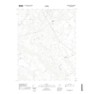
2019 Map of Dawson Crossroads
USGS Topo · Published 2019About this map
Crowells Crossroads and Dawson Crossroads anchor this rural landscape in Halifax County, where agricultural patterns are shaped by significant wetland systems. The northern reaches are drained by Hales Millpond Br and Deep Cr, while the southern terrain is dominated by the sprawling Conoho Creek Swamp and Beech Swamp. This 2019 survey documents a network of family-named farm roads and ancestral landmarks, including Hales Cem, Westray Cem, and Pittman Cem. The local infrastructure is highlighted by Dunroamin Farms Airport, a private airfield situated near Loop Rd. The transition from upland farmsteads to the dense, low-lying swamp margins illustrates the historical reliance on higher ground for settlement and cemeteries in this part of North Carolina.
Find a feature on this map
39 named features on this map. Tap any name to fly to it.
Don’t see what you’re looking for? This feature index may not catch every label — zoom into the map to look around manually.
Map Details
Editions of this 2019 Dawson Crossroads Map
This is the sole edition of this map. No revisions or reprints were ever made.
Other maps of this area

1953 · Norfolk
USGS Topo · 1:250,000

1960 · Dawson Crossroads
USGS Topo · 1:24,000

1960 · Draughn
USGS Topo · 1:24,000

1961 · Whitakers
USGS Topo · 1:24,000

1961 · Enfield
USGS Topo · 1:24,000

1962 · Scotland Neck
USGS Topo · 1:24,000

1962 · Hobgood
USGS Topo · 1:24,000

1974 · Halifax
USGS Topo · 1:24,000

1974 · Boones Crossroads
USGS Topo · 1:24,000

1974 · Darlington
USGS Topo · 1:24,000