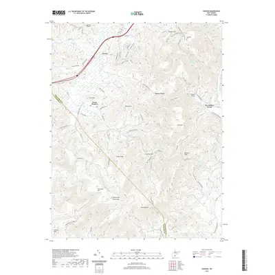
2019 Map of Dawson
USGS Topo · Published 2019About this map
Blue Sulphur Springs and the surrounding high country of the Allegheny Mountains define this 2019 survey. The area transitions from the winding Meadow River in the northwest to the prominent heights of Keeney Mtn Keeney Knob, where the Keeney Knob Fire Tower overlooks the state border region of Greenbrier and Summers counties. This landscape is shaped by deep drainage patterns like Sawmill Hollow and Possum Hollow, which isolate small upland communities such as Grassy Meadows and Hickory Grove.
Find a feature on this map
80 named features on this map. Tap any name to fly to it.
Don’t see what you’re looking for? This feature index may not catch every label — zoom into the map to look around manually.
Map Details
Editions of this 2019 Dawson Map
This is the sole edition of this map. No revisions or reprints were ever made.
Other maps of this area

1887 · Hinton
USGS Topo · 1:125,000

1892 · Hinton
USGS Topo · 1:125,000

1912 · Meadow Creek
USGS Topo · 1:48,000

1912 · Big Bend
USGS Topo · 1:62,500

1914 · Big Bend
USGS Topo · 1:62,500

1915 · Meadow Creek
USGS Topo · 1:62,500

1921 · Alderson
USGS Topo · 1:48,000

1921 · Clintonville
USGS Topo · 1:48,000

1923 · Clintonville
USGS Topo · 1:62,500
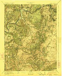
1923 · Alderson
USGS Topo · 1:62,500