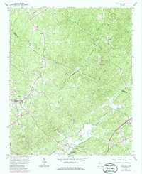
1964 Map of Dawsonville
USGS Topo · Published 1986About this map
Dawsonville serves as the focal point for this mid-century survey of the north Georgia foothills, where the landscape is defined by the winding course of the Etowah River. Small rural settlements like Auraria and Burtsboro are connected by a network of winding roads, while the presence of community landmarks such as New Bethel Ch, Etowah Ch, and Harmony Ch indicates the established social fabric of the era. The terrain is notably dissected by numerous waterways including Shoal Creek, Burt Creek, and Lilly Creek, highlighting the transition from agricultural land to more varied topography.
Find a feature on this map
44 named features on this map. Tap any name to fly to it.
Don’t see what you’re looking for? This feature index may not catch every label — zoom into the map to look around manually.
Map Details
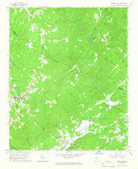
Editions of this 1964 Dawsonville Map
2 editions found
Other maps of this area

1886 · Dahlonega
USGS Topo · 1:125,000

1888 · Ellijay
USGS Topo · 1:125,000

1890 · Suwanee
USGS Topo · 1:125,000

1891 · Gainesville
USGS Topo · 1:125,000

1892 · Dahlonega
USGS Topo · 1:125,000

1892 · Ellijay
USGS Topo · 1:125,000

1894 · Suwanee
USGS Topo · 1:125,000

1896 · Dahlonega
USGS Topo · 1:125,000

1898 · Ellijay
USGS Topo · 1:125,000

1903 · Dahlonega
USGS Topo · 1:125,000