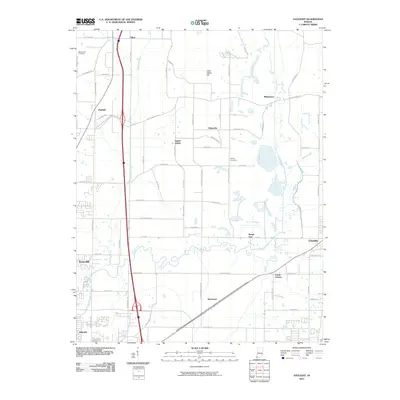
2010 Map of Daylight
USGS Topo · Published 2010About this map
Pigeon Creek meanders across the southern landscape, providing a natural drain for the surrounding farmsteads and growing residential pockets just north of Evansville. This 2010 topographic record highlights a region in transition, where established crossroads like Daylight and Saint John sit amidst an expanding network of rural and suburban roads. To the east, the map details the terrain around Chandler and Castle Garden, showing the persistent influence of water features like Bluegrass Creek and Squaw Creek on local development patterns.
Find a feature on this map
66 named features on this map. Tap any name to fly to it.
Don’t see what you’re looking for? This feature index may not catch every label — zoom into the map to look around manually.
Map Details
Editions of this 2010 Daylight Map
This is the sole edition of this map. No revisions or reprints were ever made.
Other maps of this area

1901 · Haubstadt
USGS Topo · 1:62,500

1902 · Ditney
USGS Topo · 1:125,000

1902 · Boonville
USGS Topo · 1:62,500

1903 · Haubstadt
USGS Topo · 1:62,500

1903 · Patoka
USGS Topo · 1:125,000

1905 · Newburg
USGS Topo · 1:62,500

1914 · Henderson
USGS Topo · 1:48,000

1916 · Henderson
USGS Topo · 1:62,500

1951 · Yankeetown
USGS Topo · 1:24,000

1952 · Evansville
USGS Topo · 1:24,000