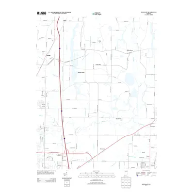
2013 Map of Daylight
USGS Topo · Published 2013About this map
Saint John and Daylight anchor this portion of the northern Evansville outskirts, showing a landscape defined by extensive drainage systems and small rural communities. The map detail highlights an intricate network of waterways including Bluegrass Cr, Pigeon Cr, and numerous man-made channels like Schlenker Ditch and Stubbs Fruedenberg Ditch that crisscross the agricultural plains. These ditches were essential for managing the water table in this low-lying region, enabling the development of settlements such as Millersburg and Fisherville.
Find a feature on this map
132 named features on this map. Tap any name to fly to it.
Don’t see what you’re looking for? This feature index may not catch every label — zoom into the map to look around manually.
Map Details
Editions of this 2013 Daylight Map
This is the sole edition of this map. No revisions or reprints were ever made.
Other maps of this area

1901 · Haubstadt
USGS Topo · 1:62,500

1902 · Ditney
USGS Topo · 1:125,000

1902 · Boonville
USGS Topo · 1:62,500

1903 · Haubstadt
USGS Topo · 1:62,500

1903 · Patoka
USGS Topo · 1:125,000

1905 · Newburg
USGS Topo · 1:62,500

1914 · Henderson
USGS Topo · 1:48,000

1916 · Henderson
USGS Topo · 1:62,500

1951 · Yankeetown
USGS Topo · 1:24,000

1952 · Evansville
USGS Topo · 1:24,000