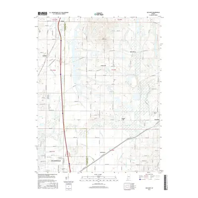
2016 Map of Daylight
USGS Topo · Published 2016About this map
Evansville and its northern periphery near the Vanderburgh and Warrick county line are characterized by a highly engineered drainage landscape. The area is defined by an extensive network of ditches, including Schlensker Ditch, Stockfleth Ditch, and Boesche Ditch, which manage the low-lying terrain surrounding Pigeon Creek. These waterways serve the small agricultural and residential clusters of Daylight, Fisherville, and Millersburg, illustrating the persistent effort to reclaim and utilize the fertile bottomlands of southwest Indiana.
Find a feature on this map
115 named features on this map. Tap any name to fly to it.
Don’t see what you’re looking for? This feature index may not catch every label — zoom into the map to look around manually.
Map Details
Editions of this 2016 Daylight Map
This is the sole edition of this map. No revisions or reprints were ever made.
Other maps of this area

1901 · Haubstadt
USGS Topo · 1:62,500

1902 · Ditney
USGS Topo · 1:125,000

1902 · Boonville
USGS Topo · 1:62,500

1903 · Haubstadt
USGS Topo · 1:62,500

1903 · Patoka
USGS Topo · 1:125,000

1905 · Newburg
USGS Topo · 1:62,500

1914 · Henderson
USGS Topo · 1:48,000

1916 · Henderson
USGS Topo · 1:62,500

1951 · Yankeetown
USGS Topo · 1:24,000

1952 · Evansville
USGS Topo · 1:24,000