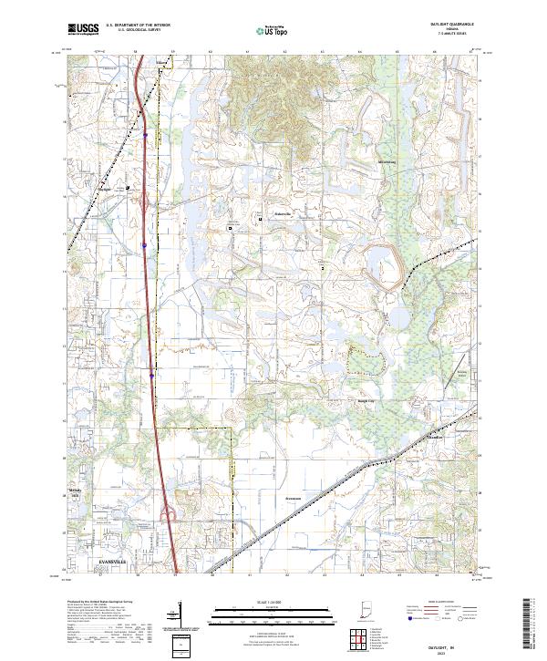
2023 Map of Daylight
USGS Topo · Published 2023About this map
Daylight and Chandler anchor a landscape defined by an extensive network of drainage ditches and small rural communities along the border of Vanderburgh and Warrick Counties. The terrain is marked by the modest elevation of Little Ditney Hill and the winding course of Pigeon Creek, which is joined by numerous engineered waterways such as Stubbs Fruedenberg Ditch and Weinheimer Ditch. This intricate water management system reflects the area's agricultural development and the challenges of the low-lying terrain north of Evansville.
Find a feature on this map
134 named features on this map. Tap any name to fly to it.
Don’t see what you’re looking for? This feature index may not catch every label — zoom into the map to look around manually.
Map Details
Editions of this 2023 Daylight Map
This is the sole edition of this map. No revisions or reprints were ever made.
Other maps of this area

1901 · Haubstadt
USGS Topo · 1:62,500

1902 · Ditney
USGS Topo · 1:125,000

1902 · Boonville
USGS Topo · 1:62,500

1903 · Haubstadt
USGS Topo · 1:62,500

1903 · Patoka
USGS Topo · 1:125,000

1905 · Newburg
USGS Topo · 1:62,500

1914 · Henderson
USGS Topo · 1:48,000

1916 · Henderson
USGS Topo · 1:62,500

1951 · Yankeetown
USGS Topo · 1:24,000

1952 · Evansville
USGS Topo · 1:24,000