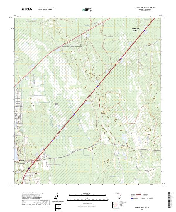
2024 Map of Daytona Beach SW
USGS Topo · Published 2024About this map
Tiger Bay and the surrounding wetlands of central Volusia County dominate this recent survey, showcasing a landscape defined by expansive conservation areas and the major thoroughfares connecting local hubs. The western edge of the map captures the outskirts of DeLand, where residential development like Daytona Park Estates meets the dense environment of the Tiger Bay State Forest Trl. Running diagonally through the center, International Speedway Blvd serves as the primary artery toward Daytona Beach.
Find a feature on this map
107 named features on this map. Tap any name to fly to it.
Don’t see what you’re looking for? This feature index may not catch every label — zoom into the map to look around manually.
Map Details
Editions of this 2024 Daytona Beach SW Map
This is the sole edition of this map. No revisions or reprints were ever made.
Other maps of this area

1952 · Samsula
USGS Topo · 1:24,000

1952 · Daytona Beach
USGS Topo · 1:24,000

1954 · Daytona Beach
USGS Topo · 1:250,000

1955 · Orlando
USGS Topo · 1:250,000

1957 · Orlando
USGS Topo · 1:250,000

1958 · Orlando
USGS Topo · 1:250,000

1958 · Daytona Beach
USGS Topo · 1:250,000

1962 · Orlando
USGS Topo · 1:250,000

1962 · Daytona Beach NW
USGS Topo · 1:24,000

1962 · Daytona Beach SW
USGS Topo · 1:24,000