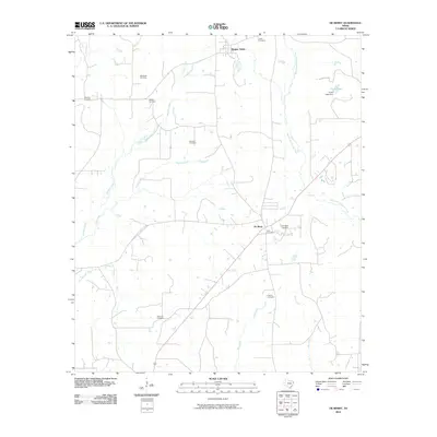
2010 Map of De Berry
USGS Topo · Published 2010About this map
The community of Elysian Fields sits at the northern edge of this Panola County landscape, where the terrain is defined by a dense network of slow-moving waterways and historical burial grounds. The settlement of De Berry serves as a central hub, situated along a primary corridor that cuts southeast across the quadrangle. For genealogists, the map is particularly rich, documenting numerous family and community sites such as Woodley Cemetery, Markrider Cemetery, Bracken Cemetery, and Ingram Cemetery scattered across the rural acreage.
Find a feature on this map
20 named features on this map. Tap any name to fly to it.
Don’t see what you’re looking for? This feature index may not catch every label — zoom into the map to look around manually.
Map Details
Editions of this 2010 De Berry Map
This is the sole edition of this map. No revisions or reprints were ever made.
Other maps of this area

1943 · Waskom
USGS Topo · 1:62,500

1945 · Waskom
USGS Topo · 1:62,500

1945 · Socagee Bayou
USGS Topo · 1:62,500

1956 · Tyler
USGS Topo · 1:250,000

1956 · Deadwood
USGS Topo · 1:62,500

1958 · Darco
USGS Topo · 1:62,500

1958 · Carthage
USGS Topo · 1:62,500

1962 · Stricklin Springs
USGS Topo · 1:24,000

1962 · De Berry
USGS Topo · 1:24,000
1962 · Panola
USGS Topo · 1:24,000