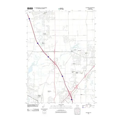
2010 Map of De Forest
USGS Topo · Published 2010About this map
The Yahara River and Token Creek define the hydrological landscape of this northern Dane County region, situated just north of the state capital. By 2010, the area shows a distinct suburban-rural blend, where established centers like De Forest and Windsor expanded alongside modern residential developments such as Foxmoor Hills, Sunburst, and Sherwood Glen. This era of growth is framed by a sophisticated transportation network, with the sprawling Dane County Regional Airport-Truax Field occupying the southern reaches and major interstate corridors bisecting the farmland.
Find a feature on this map
48 named features on this map. Tap any name to fly to it.
Don’t see what you’re looking for? This feature index may not catch every label — zoom into the map to look around manually.
Map Details
Editions of this 2010 De Forest Map
This is the sole edition of this map. No revisions or reprints were ever made.
Other maps of this area

1890 · Madison
USGS Topo · 1:62,500

1890 · Sun Prairie
USGS Topo · 1:62,500

1892 · Madison
USGS Topo · 1:62,500

1896 · Sun Prairie
USGS Topo · 1:62,500

1901 · Poynette
USGS Topo · 1:62,500

1904 · Madison
USGS Topo · 1:62,500

1905 · Sun Prairie
USGS Topo · 1:62,500

1906 · Madison
USGS Topo · 1:62,500

1907 · Sun Prairie
USGS Topo · 1:62,500

1955 · Columbus
USGS Topo · 1:62,500