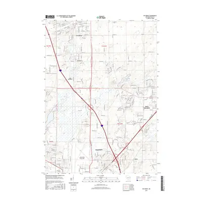
2016 Map of De Forest
USGS Topo · Published 2016About this map
Deforest and the surrounding villages of Windsor and Lake Windsor anchor this northern Dane County corridor, where the Yaharo River and Token Creek define the landscape before they reach the state capital. The map records a complex junction of modern infrastructure and long-standing landmarks, including the northern edge of Madison and the Dane County Regional Airport-Truax Field. Local history is preserved in sites like the Moravian Cem and Hoepker Cem, while the CP RR line follows the traditional transportation routes through the township. Residential growth is evident in the dense street networks of Sun Prairie and Burke, yet the terrain remains marked by features like Token Creek Pond and the Co Hwy Divide. Academic and vocational footprints are represented by Herzing Coll, positioned near the major highway intersections that drive the region's 21st-century development.
Find a feature on this map
103 named features on this map. Tap any name to fly to it.
Don’t see what you’re looking for? This feature index may not catch every label — zoom into the map to look around manually.
Map Details
Editions of this 2016 De Forest Map
This is the sole edition of this map. No revisions or reprints were ever made.
Other maps of this area

1890 · Madison
USGS Topo · 1:62,500

1890 · Sun Prairie
USGS Topo · 1:62,500

1892 · Madison
USGS Topo · 1:62,500

1896 · Sun Prairie
USGS Topo · 1:62,500

1901 · Poynette
USGS Topo · 1:62,500

1904 · Madison
USGS Topo · 1:62,500

1905 · Sun Prairie
USGS Topo · 1:62,500

1906 · Madison
USGS Topo · 1:62,500

1907 · Sun Prairie
USGS Topo · 1:62,500

1955 · Columbus
USGS Topo · 1:62,500