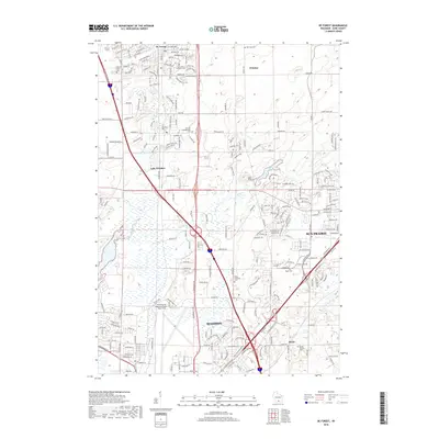
2018 Map of De Forest
USGS Topo · Published 2018About this map
Madison and Sun Prairie anchor the southern and eastern edges of this landscape, showing the suburban expansion and modern infrastructure of Dane County. The northern reaches are defined by the villages of De Forest and Windsor, where residential developments like Lake Windsor sit alongside historical markers of earlier settlement. A network of local history is preserved in numerous rural burial grounds, including the Norway Grove Cem and Saint Olaf Catholic Cem. The terrain is drained by the Yahara River and Token Creek, which wind through the township before reaching the northern limits of the state capital. Transport corridors are central to this area's identity, dominated by the sprawling Dane County Regional Airport-Truax Field, the CP Rail line, and a dense web of county roads that replaced the older rail-and-river economy near Burke Station.
Find a feature on this map
136 named features on this map. Tap any name to fly to it.
Don’t see what you’re looking for? This feature index may not catch every label — zoom into the map to look around manually.
Map Details
Editions of this 2018 De Forest Map
This is the sole edition of this map. No revisions or reprints were ever made.
Other maps of this area

1890 · Madison
USGS Topo · 1:62,500

1890 · Sun Prairie
USGS Topo · 1:62,500

1892 · Madison
USGS Topo · 1:62,500

1896 · Sun Prairie
USGS Topo · 1:62,500

1901 · Poynette
USGS Topo · 1:62,500

1904 · Madison
USGS Topo · 1:62,500

1905 · Sun Prairie
USGS Topo · 1:62,500

1906 · Madison
USGS Topo · 1:62,500

1907 · Sun Prairie
USGS Topo · 1:62,500

1955 · Columbus
USGS Topo · 1:62,500