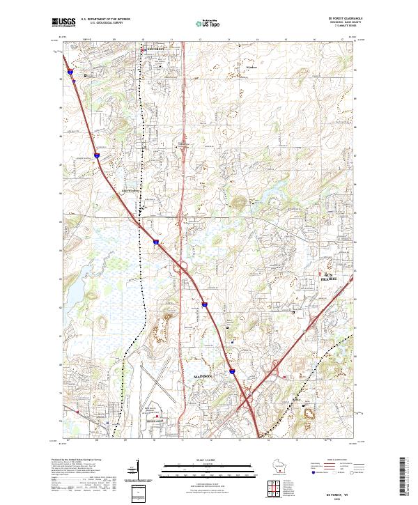
2022 Map of De Forest
USGS Topo · Published 2022About this map
The Yahara River and Token Creek define the low-lying hydrology of this landscape north of Madison, where suburban expansion meets legacy agricultural tracts. The map reveals a dense network of local cemeteries that anchor the area's history, from Norway Grove Cem in the northwest to the Burke Station Cem in the south. These sites, along with established congregations at the Windsor Congregational Cem and Saint Olaf Catholic Cem, provide essential geographic markers for genealogists tracing family histories in the villages of DeForest and Windsor.
Find a feature on this map
225 named features on this map. Tap any name to fly to it.
Don’t see what you’re looking for? This feature index may not catch every label — zoom into the map to look around manually.
Map Details
Editions of this 2022 De Forest Map
This is the sole edition of this map. No revisions or reprints were ever made.
Other maps of this area

1890 · Madison
USGS Topo · 1:62,500

1890 · Sun Prairie
USGS Topo · 1:62,500

1892 · Madison
USGS Topo · 1:62,500

1896 · Sun Prairie
USGS Topo · 1:62,500

1901 · Poynette
USGS Topo · 1:62,500

1904 · Madison
USGS Topo · 1:62,500

1905 · Sun Prairie
USGS Topo · 1:62,500

1906 · Madison
USGS Topo · 1:62,500

1907 · Sun Prairie
USGS Topo · 1:62,500

1955 · Columbus
USGS Topo · 1:62,500