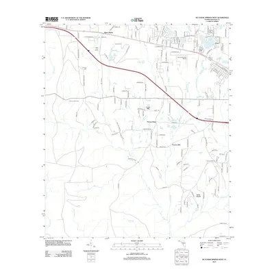
2012 Map of De Funiak Springs West
USGS Topo · Published 2012About this map
Alaqua Cr and its many tributaries, including Cosson Mill and Sconiers Mill Cr, define the rural geography of this Florida Panhandle landscape. The map centers on the transition from the organized grid of Dixon and the DeFuniak Springs Airport toward the more dispersed settlements of Sconiers Mill and Pleasant Ridge. This area reveals a history of local industry and community gathering points, such as Sconiers Mill Pond and Steele Church.
Find a feature on this map
150 named features on this map. Tap any name to fly to it.
Don’t see what you’re looking for? This feature index may not catch every label — zoom into the map to look around manually.
Map Details
Editions of this 2012 De Funiak Springs West Map
This is the sole edition of this map. No revisions or reprints were ever made.
Other maps of this area

1934 · Niceville
USGS Topo · 1:48,000

1935 · De Funiak Springs
USGS Topo · 1:48,000

1936 · Niceville
USGS Topo · 1:62,500

1938 · De Funiak Springs
USGS Topo · 1:62,500

1949 · Glendale
USGS Topo · 1:62,500

1949 · Laurel Hill
USGS Topo · 1:62,500

1950 · Laurel Hill
USGS Topo · 1:62,500

1951 · Glendale
USGS Topo · 1:62,500

1956 · Niceville
USGS Topo · 1:62,500

1957 · Pensacola
USGS Topo · 1:250,000