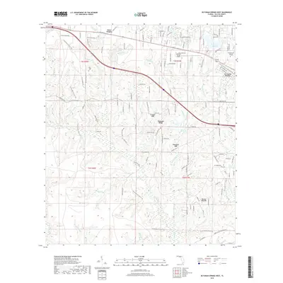
2018 Map of De Funiak Springs West
USGS Topo · Published 2018About this map
Cosson Mill and the surrounding pine-rich lowlands of Walton County define the landscape of this 2018 survey. The area is characterized by a series of south-flowing drainages, including Alaqua Cr and Sconiers Mill Cr, which historically supported local industry as evidenced by the namesake mill settlements and Sconiers Mill Pond. The mapping shows the western edge of De Funiak Springs, where the transition from residential development near Lake Stanley gives way to more rural holdings. Local genealogists will find several landmarks associated with community life, such as Steele Church and Oak Ridge Cem. Infrastructure like the DeFuniak Springs Airport and Emerald Coast Technical College mark the modern economic hubs, while the network of unpaved roads like Nowling Rd and Bear Head Rd suggests the enduring rural character of the Florida Panhandle's interior.
Find a feature on this map
133 named features on this map. Tap any name to fly to it.
Don’t see what you’re looking for? This feature index may not catch every label — zoom into the map to look around manually.
Map Details
Editions of this 2018 De Funiak Springs West Map
This is the sole edition of this map. No revisions or reprints were ever made.
Other maps of this area

1934 · Niceville
USGS Topo · 1:48,000

1935 · De Funiak Springs
USGS Topo · 1:48,000

1936 · Niceville
USGS Topo · 1:62,500

1938 · De Funiak Springs
USGS Topo · 1:62,500

1949 · Glendale
USGS Topo · 1:62,500

1949 · Laurel Hill
USGS Topo · 1:62,500

1950 · Laurel Hill
USGS Topo · 1:62,500

1951 · Glendale
USGS Topo · 1:62,500

1956 · Niceville
USGS Topo · 1:62,500

1957 · Pensacola
USGS Topo · 1:250,000