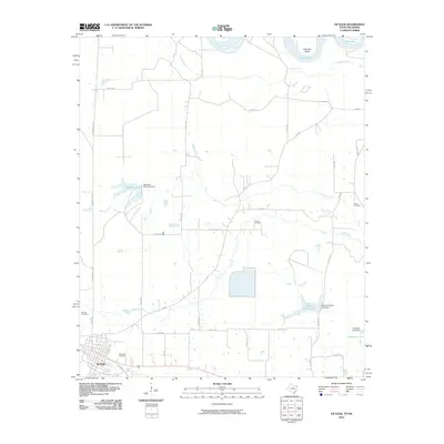
2010 Map of De Kalb
USGS Topo · Published 2010About this map
De Kalb serves as the primary hub in this corner of Bowie County, where residential streets meet rural roads leading into a landscape shaped by the Red River. The northern boundary is defined by the winding course of the river, featuring the prominent Billy Hall Bend and the meandering Hooks Bayou. This transition from the structured grid of the town to the alluvial bottomlands illustrates the area's agricultural and hydrological character.
Find a feature on this map
40 named features on this map. Tap any name to fly to it.
Don’t see what you’re looking for? This feature index may not catch every label — zoom into the map to look around manually.
Map Details
Editions of this 2010 De Kalb Map
This is the sole edition of this map. No revisions or reprints were ever made.
Other maps of this area

1909 · New Boston
USGS Topo · 1:62,500

1930 · Bassett
USGS Topo · 1:62,500

1950 · De Kalb NW
USGS Topo · 1:24,000

1950 · Tom
USGS Topo · 1:24,000

1950 · De Kalb
USGS Topo · 1:24,000

1950 · Oak Grove
USGS Topo · 1:24,000

1951 · De Kalb
USGS Topo · 1:24,000

1951 · De Kalb NW
USGS Topo · 1:24,000

1951 · Tom
USGS Topo · 1:24,000

1951 · Oak Grove
USGS Topo · 1:24,000