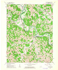
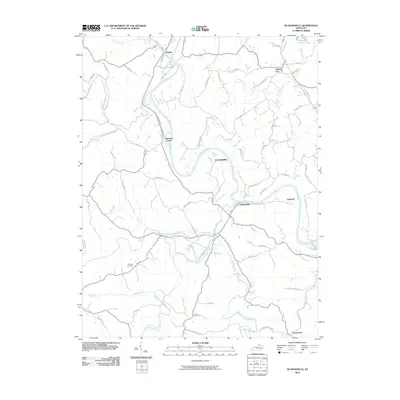
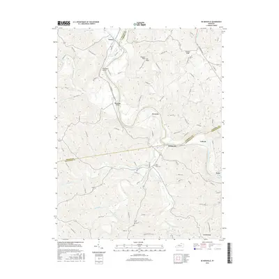
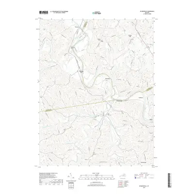
1961 Map of De Mossville
USGS Topo · Published 1963About this map
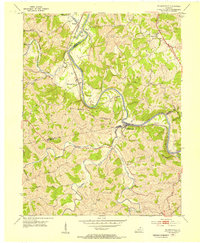
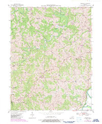
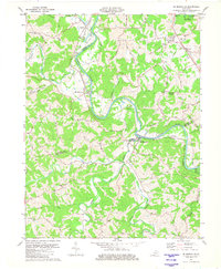
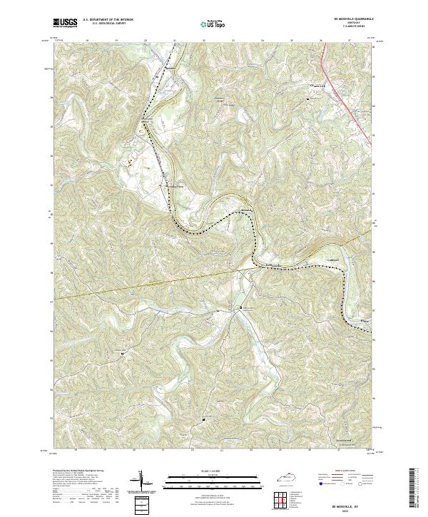
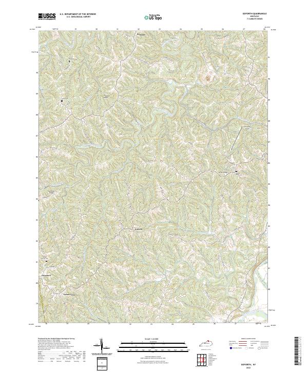
The Licking River winds in deep, serpentine loops through the borderlands of Kenton, Campbell, and Pendleton Counties, dictating the geography of local commerce and travel during the early 1960s. The Louisville and Nashville railroad tracks parallel the river's path, connecting small rail communities like Morning View and De Mossville. This terrain is characterized by steep ridges and narrow valleys where smaller tributaries such as Cruises Creek and Plum Creek drain into the main channel. Rural life is anchored by landmarks like St Marys Ch and several family burial grounds, including Caldwell Cem and Smith Cem. The mapping of fence and field lines across the uplands near Grants Lick and Boone Ridge illustrates the agricultural patterns of the era, while the four forks of Grassy Fork define the drainage of the southern panhandle.
Find a feature on this map
29 named features on this map. Tap any name to fly to it.
Don’t see what you’re looking for? This feature index may not catch every label — zoom into the map to look around manually.
Map Details
Editions of this 1961 De Mossville Map
This is the sole edition of this map. No revisions or reprints were ever made.
Historical Maps of Butler Through Time
14 maps found
1953 De Mossville
Pendleton County, KY
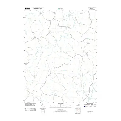
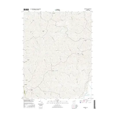
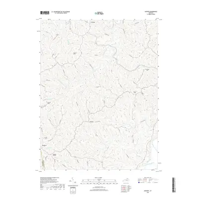
1953 Goforth
Pendleton County, KY
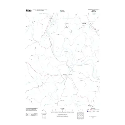
1961 De Mossville
Pendleton County, KY
1981 De Mossville
Pendleton County, KY
2010 De Mossville
Pendleton County, KY
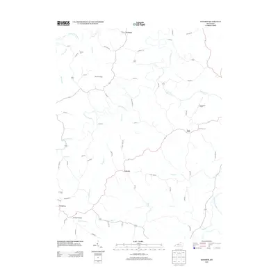
2010 Goforth
Pendleton County, KY
2013 De Mossville
Pendleton County, KY
2013 Goforth
Pendleton County, KY
2016 De Mossville
Pendleton County, KY
2016 Goforth
Pendleton County, KY
2019 De Mossville
Pendleton County, KY
2019 Goforth
Pendleton County, KY
2022 De Mossville
Pendleton County, KY
2022 Goforth
Pendleton County, KY